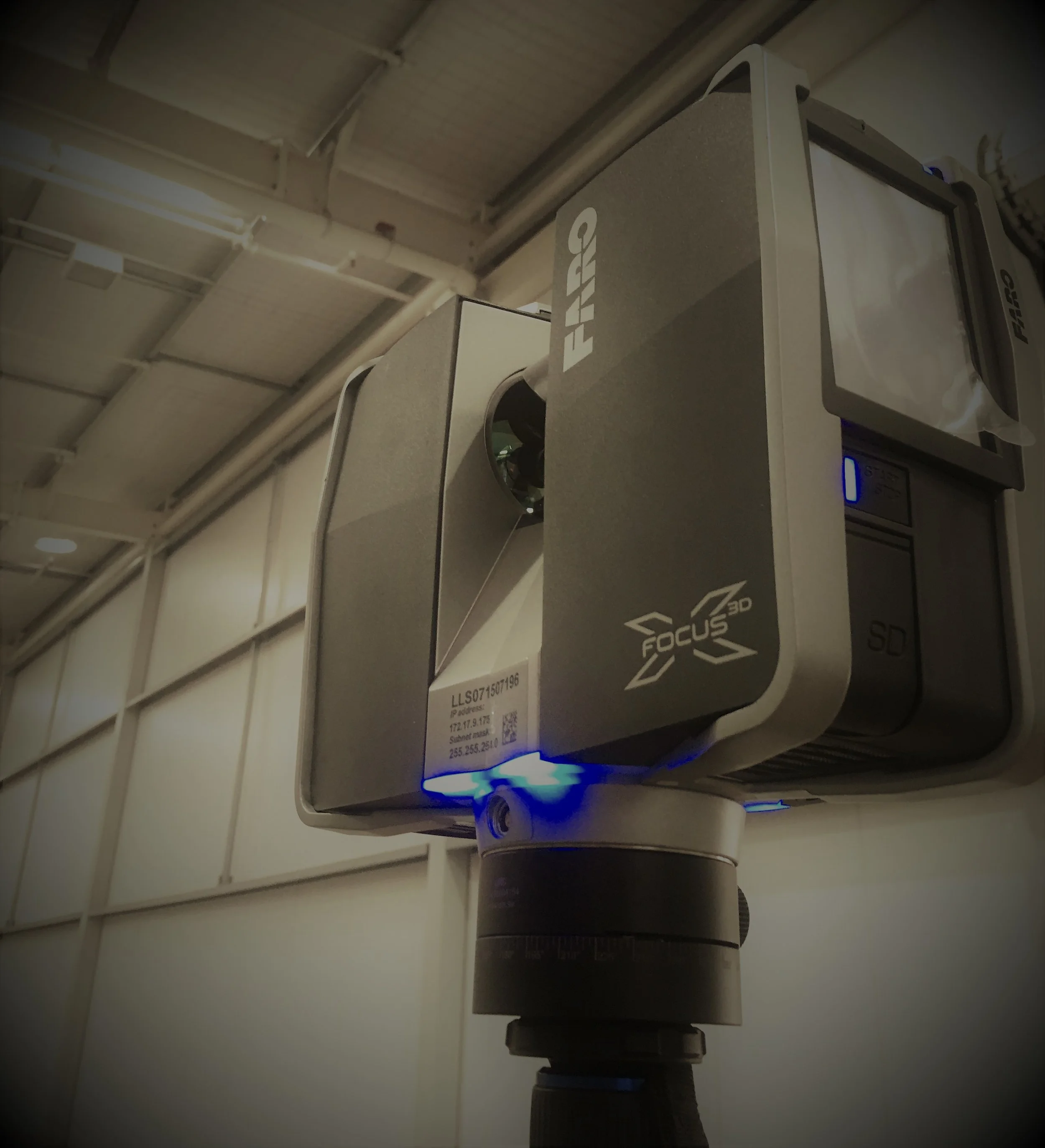
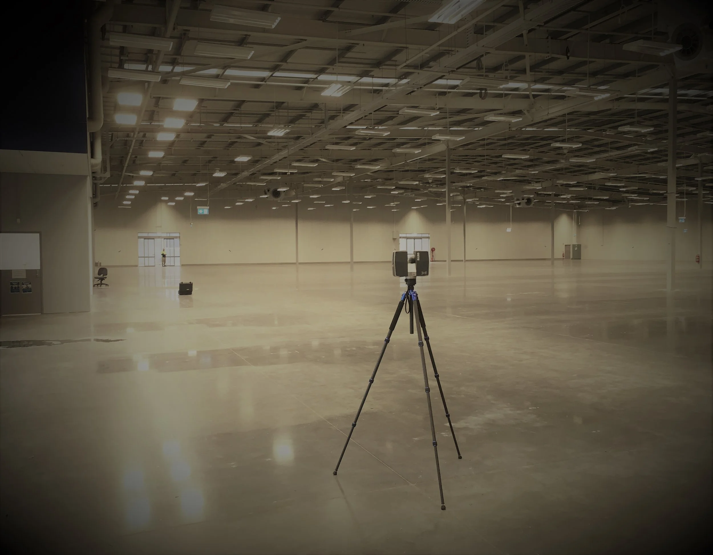
Laser Scan - Warehouse - Brisbane Airport


Laser scan surveys gather millions of accurate points that create a 3D image which can be processed and used in nearly all CAD and 3D Modelling systems. Scanning is high accuracy, high speed and is the best and safest way of taking measurements which can be used to design and construct.
Laser Scan surveys performed earlier in the project deliver foundation BIM models and will increase the speed that accurate design documentation can be produced. Scanning records the as built positions of structures which can be difficult to survey in any other way. Measuring dangerous structures or in risky locations is made safer as scanning is effective over much longer distances than a tape measure.
The Laser scan survey can be updated as your build progresses allowing you to inspect and compare “as built” to design drawings. You will also be able to clash check your designs and get clearance measurements easily.
Almost any project that requires the gathering of “As Built” information is ideal for a laser scan survey. This includes both commercial and domestic projects. Architects and Engineers benefit from our data as they can use it to create new designs with the confidence that the Laser scan represents the available space accurately and comprehensively. Fabricators of Steel, timber, concrete and MEP also benefit as our data will contain all of the as built information they require in an easy to use format. The Laser scan data can be directly inserted into nearly all CAD systems enabling your designers to work on the virtual site.
We can deliver our Laser scan surveys in many formats from detailed BIM models to just simple clean laser scans. We also have an online viewing system which you can share with your clients and designers which helps them visualise the project. This can even be used with a VR system so you can be immersed in your data and models.
Typical outputs work in Revit, Archicad, Autocad and Tekla Structures.
BIMTEK can produce laser scan surveys in a variety of formats and software, including using the likes of ~
BIM.
Tekla Structures.
Revit.
ArchiCAD.
BIMTEK has a system for online viewing that you can use to help your clients and designers visualize their project. We can also utilize a VR system with this to fully immerse yourself in your models and data.
If you’re interested in laser scanning in Brisbane, or anywhere in Southeast Queensland – get in touch with us today for a comprehensive, professional and friendly service – dial through to 0452 070 372.
HOW DOES LASER SCANNING WORK?
In the traditional sense, we measure using tools such as a: ruler, tape measure, plumb bobs, piano wire, total stations and laser range finders. However, when measuring larger infrastructures or conducting projects on an ample scale, a different approach may be preferable as this can take days, weeks, or months, depending on the size of the space being measured. Additionally, traditional technologies can cause measurement errors from user to user, which results in lost data, a problematic, stressful situation, and then having to conduct the lengthy and time-consuming task of repeating all the measurements. Due to these complexities, laser scanning is the safest way of obtaining the required measurements.
Alternatively, the laser scannin industrydéfinition is a non-contact device that uses laser infrared technology to produce accurate 3D images while collecting millions of discrete data points to measure an object or location. A point cloud, or collection of millions of 3D data points, produces the photos.
WHAT IS THE LASER SCANNING PROCESS AND HOW IS LASER SCANNING EXPLAINED?
Laser scanning essentially has 2 types.
Firstly, time-of-flight systems, also referred to as pulse measurement systems, function by producing a single laser pulse and measuring the time required for the light to return to a sensor on the scanner to calculate the distance to the end point.
Phase-shift systems also utilises a laser which is emitted. The difference is it modulates the light's intensity using specific and precise waveforms. The intensity pattern reflection is moved by the impact on the object's surface. By calculating the difference between the delivered and received laser signals, a precise distance calculation is then achieved. Generally, phase-shift laser scanners deliver high-resolution data with accuracy and speed
Often people want to know how accurate 3D laser scanning is though. Based on the definition of accuracy, it’s the comparison of a measured value to what’s believed and thought to be the genuine value.
Here are a few laser scanning methods used to achieve the accuracy of the measurements:
The distance between the laser scanning device and the subject is important when the accuracy is given as an absolute value, like in mm. The size of the object or space being scanned typically affects this distance. A 3 cm or 1 inch distortion might not be an issue if a larger ship is being scanned and some of its spots are 100 meters (109 yards) away. However, even 0.5 cm or 0.2 in will represent a significant difference from reality if you’re scanning an object that’s 20 cm in total in size. Typically, the precision and distance traveled are traded off. The accuracy will decrease the further away it scans. The closer you scan, the more accurate the results will be.
IS LIGHTING RELEVANT WHEN OPERATING A 3D LASER SCANNING DEVICE?
Lighting must be considered as an important factor while evaluating the surroundings of an object being scanned before selecting a different technology in preference.
For instance, to achieve the optimum level of precision possible in photogrammetry, the appropriate lighting is crucial. The algorithms will have more difficulty matching and overlapping multiple pictures while shooting photos in a brighter area, which will hinder accuracy. When the lightning is too dim or there are shadows, the same effect can disrupt the desired accuracy.
Additionally, poor lighting can also have an impact on how accurately photogrammetry represents textures. In the case of laser scanning, the light emitted by the scanner also affects the accuracy of the scan, in addition to the light in the surrounding environment. There are many varieties of wavelengths in light, and some are more prone to interference.
WHAT IS LASER SCANNING USED FOR?
Laser scanning is the process of using lasers to collect point clouds of 3D spatial data. Utilising a laser scanning device reduces data collection errors and the inconvenience of returning to a location due to missed or incorrect information. Laser scanning is mostly used to create 3D scans of building elevations, floor layouts, tunnel profiling, and rail or motorway bridges as well as topographic mapping.
In locations where highly precise 3D measurements are necessary, precise models are produced, or if the venue presents any danger, laser scanning is highly effective. Once processed, the images from laser scanners can be adapted to a variety of 2D and 3D software to capture numerous points at various distances.
In construction scenarios, 3D laser scanning technology measures distances to within a few thousandths of an inch in three dimensions, collecting data of authentic objects and environments. Millions of points of data are combined to create a point cloud, which may be fed into high-end rendering tools. The system can then be used to generate interactive schematic diagrams of an interior or exterior with extremely precise measurements of any project.
Project managers, architects or property owners may create precise measurements, and zoom in closely to examine the integrity of vital infrastructures like HVAC and utilities or assess current conditions due to the advanced technology of laser-scanned architectural 3D models. Laser scanning technology is used to gather, evaluate, and record reality, ensuring it’s the finest substitute possible for original experiences.
BIMTEK has all the credentials and experience to offer you a professional, high quality and customer focused service. We welcome all your enquires and look forward to assisting you with all your laser scanning requirements across Southeast Queensland.


